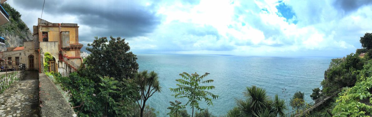
 View shortly after Amalfi - just above the coastal road
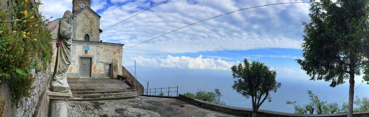
 Many picturesque churches and chapels along the way
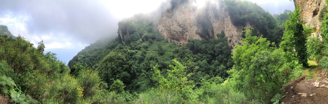 Green valley with rock and mist below San Lazzaro
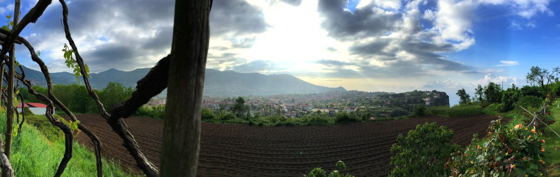 View from Bomerano to the San Lazzaro plateau
Entering stage 3 from Pogerola
After spending the night in Pogerola above Amalfi, we first have to return to almost sea level. From the centre of Pogerola we follow Via Castello past the church towards the sea until we see steps to the right with a sign pointing towards Amalfi. Follow these downwards into a gorge until, after about half an hour, you reach the coastal road or the hiking route directly from Amalfi (directly at the end of the tunnel, waypoint 1).

Steep stairs in the rock lead us back to the coastal road in a green gorge coming from Pogerola
Facts about stage 3
Altitude metres:
from Amalfi: 950m ascent/ 320m descent
from Pogerola: 950m ascent/ 620m descent
Duration: 4:00h from Amalfi / 4:30h from Pogerola (without breaks)
See also Elevation profile in detail.
GPS route download for stage 3
Refreshment stops
small bar with snacks and pizza at the crossroads in Lone, several restaurants in San Lazzaro.
Entering stage 3 from Amalfi
If you stayed in Amalfi instead of Pogerola, leave Amalfi via the coastal road heading west slightly uphill and cross the road tunnel. Immediately after the tunnel (waypoint 1) you meet the route coming from Pogerola.
After the tunnel, the road continues
A few meters after the tunnel, we leave the coastal road and continue along the path parallel to it, initially below houses, then increasingly rural. About 25 minutes after the tunnel, we unfortunately have to leave the high-level path because a road closure further along prevents passage (Update 03-2026: The closure no longer exists; you can simply continue straight ahead instead of following the short detour described here). The corresponding staircase (waypoint 2) is located directly after an arched gate with the tiled house number 33 and looks like this:

Amalfi Coast Hike - Stage 3 - Looking back at the steep coastline

Shortly before this little tower we take the stairs down - further ahead the path is blocked!
Ascent to San Lazzaro
The diversions leads along the coastal road past a bar/pizzeria with a view (waypoint 3), where we take the right of the two roads and follow it for two hairpin bends. At the second hairpin bend, a staircase leads us to the left (waypoint 4), we meet a flat path after a short while, which we follow to the left. At a church, we rejoin the road and our stairway continues upwards, offset a little to the left (waypoint 5).
We follow this scenic and much hiked path up the mountain to San Lazzaro (approx. 1:40 h from the bar in the hamlet of Lone). In San Lazzaro there are several opportunities for a lunch break (waypoint 6).
From San Lazzaro to Bomerano
From the end point of the stairway in San Lazzaro, our path first leads slightly uphill on the road to the small church, where we turn left (waypoint 7). Now we go downhill again a little and then turn left again into "Via Pino". The road descends in serpentines and at a bend we change to a small path (waypoint 8). This leads us below a steep rock face, popular with climbers, to a small stream.
On the opposite side of the gorge, the trail heads south and joins a small access road. Follow this until you reach the higher main road (waypoint 9). Turn left here and follow the main road downhill for 750m. Just before the first bend in the main road, turn right towards "S. Alfonso" (Waypoint 10). At the end of this road, a beautiful and well-marked hiking trail begins to Bomerano (approx. 2 hours from San Lazzaro).

Red poppies and the Amalfi Coast in the background
