We offer all routes recommended on this website as free downloads in GPX file format. The GPX file format is a standard file format for route information and waypoints. It can be opened, for example, with the Outdooractive smartphone map app we recommend (outdooractive.com/mobile-app.html). This free app is available for all popular smartphones (including Android and iOS).
Due to numerous inquiries, we have created instructions for the Outdooractive app. You can find them here: wanderndeluxe.de/outdooractive/.
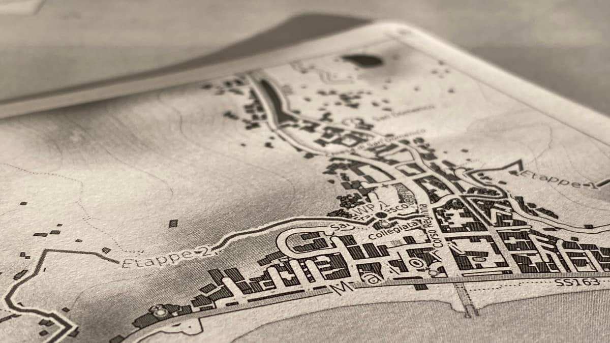
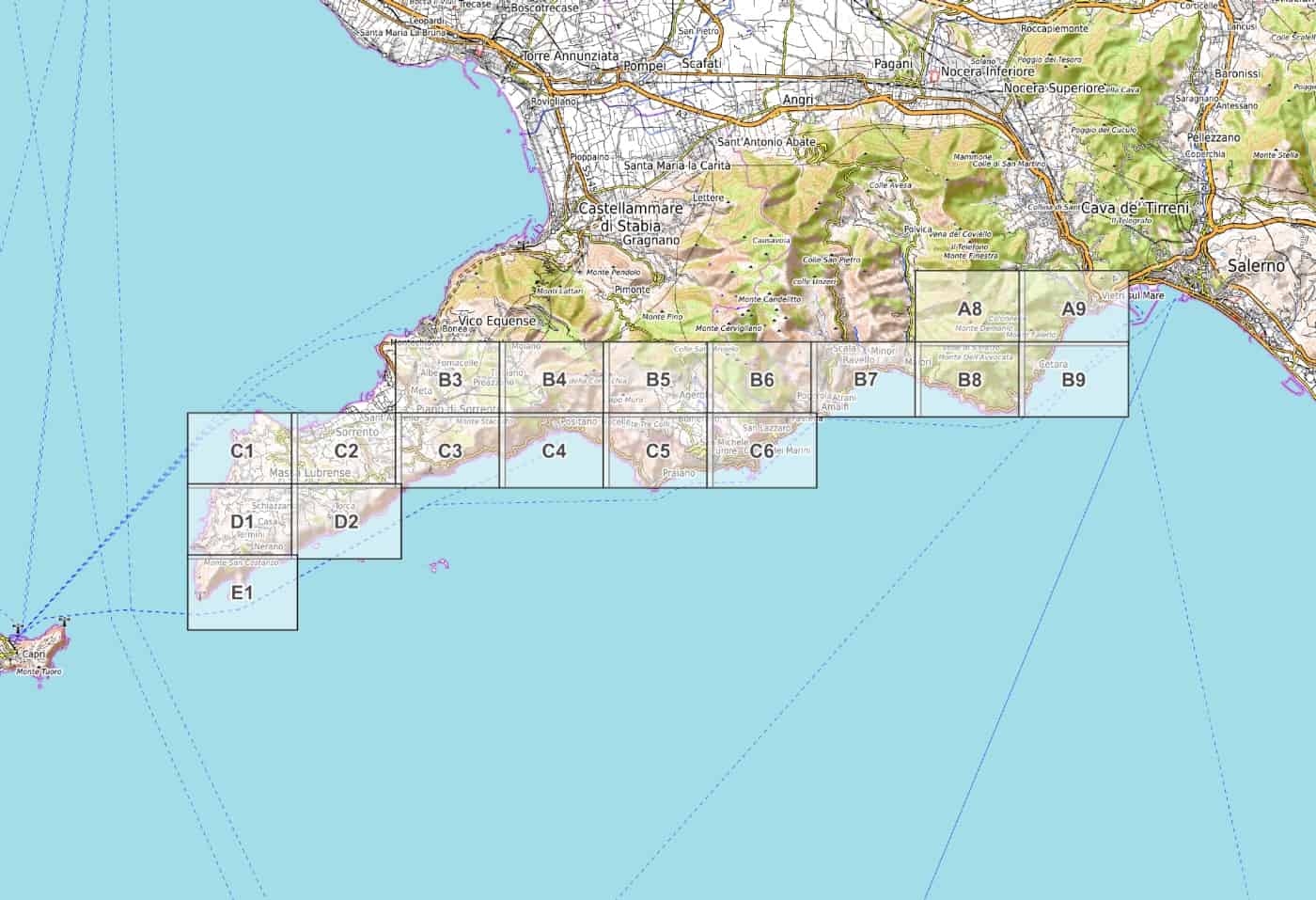
We also offer PDF hiking maps for the Amalfi Coast to download and print out yourself, as well as an e-book: PDF hiking map at a scale of 1:15,000.
GPS route download - stage 5
GPX file download for the section "Colli S. Pietro - Schiazzano" (stage 5)
GPS route download - stage 6 - short variant
GPX file download for the "Schiazzano - Sorrento" section (stage 6, short variant)
GPS route download - stage 6 - long variant
GPX file download for the "Schiazzano - Sorrento" section (stage 6,longer variant)
GPS route download - Detour to Monte Vico Alvano
GPX file download for the detour to Monte Vico Alvano (between stages 4 and 5)
GPS route download - stage 4 - long panoramic variant above Positano
GPX file download for the section "Bomerano - Colli S. Pietro" (long variant of stage 4)
